At the bottom of a valley in Anaga, on a southern beach and on the slopes of Teide, you can find rocks of volcanic origin that look quite different to one another. Some are dark and compact; others are pale and lightweight; still others have surfaces colonised by small lichens. A considerable part of Tenerife's history lies behind this variety.
The island forms the emerged portion of an immense volcanic structure rising from the ocean floor. The outline seen from the coast of La Gomera is merely the visible part. To understand the present landscape, it is worth considering the time it took for the island to form and the processes that have modified the landforms created by eruptions.
The old mountains do not look like Teide
Anaga, Teno and the area of Roque del Conde belong to some of the older stages in the construction of Tenerife. The first known volcanic rocks to emerge above the sea date back millions of years. The ancient volcanic structures have undergone numerous processes of erosion and transformation since then.
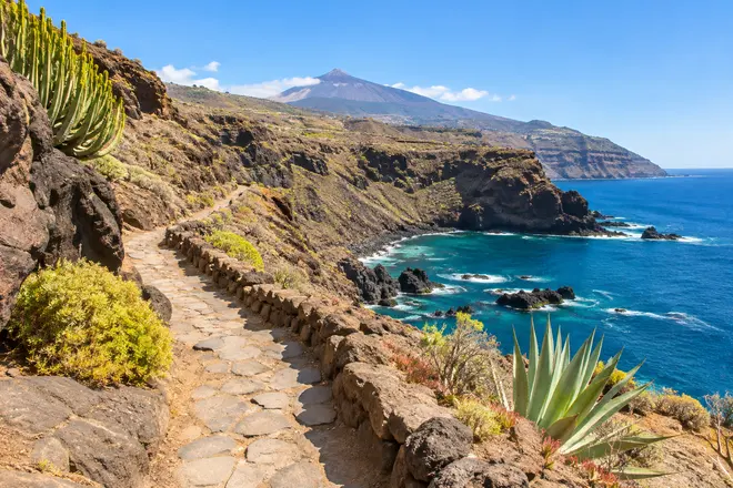
This helps explain the rugged landscapes of Anaga and Teno. They do not resemble an isolated, recently formed volcanic cone but mountains whose slopes have been cut by ravines. In some coastal areas, layers of rocks are exposed high above the ocean.
The old mountain formations remain visible despite the subsequent growth of other volcanic complexes. Travelling from one end of Tenerife to the other therefore allows you to compare parts of the landscape formed at different moments in its evolution.
It is not always possible to determine the age of a rock by its colour. A surface exposed to the sunlight can change its appearance over time, and colour also depends on its composition. The shape of the formation and its position relative to other layers provide more useful clues.
Lava flows, tubes and scoria
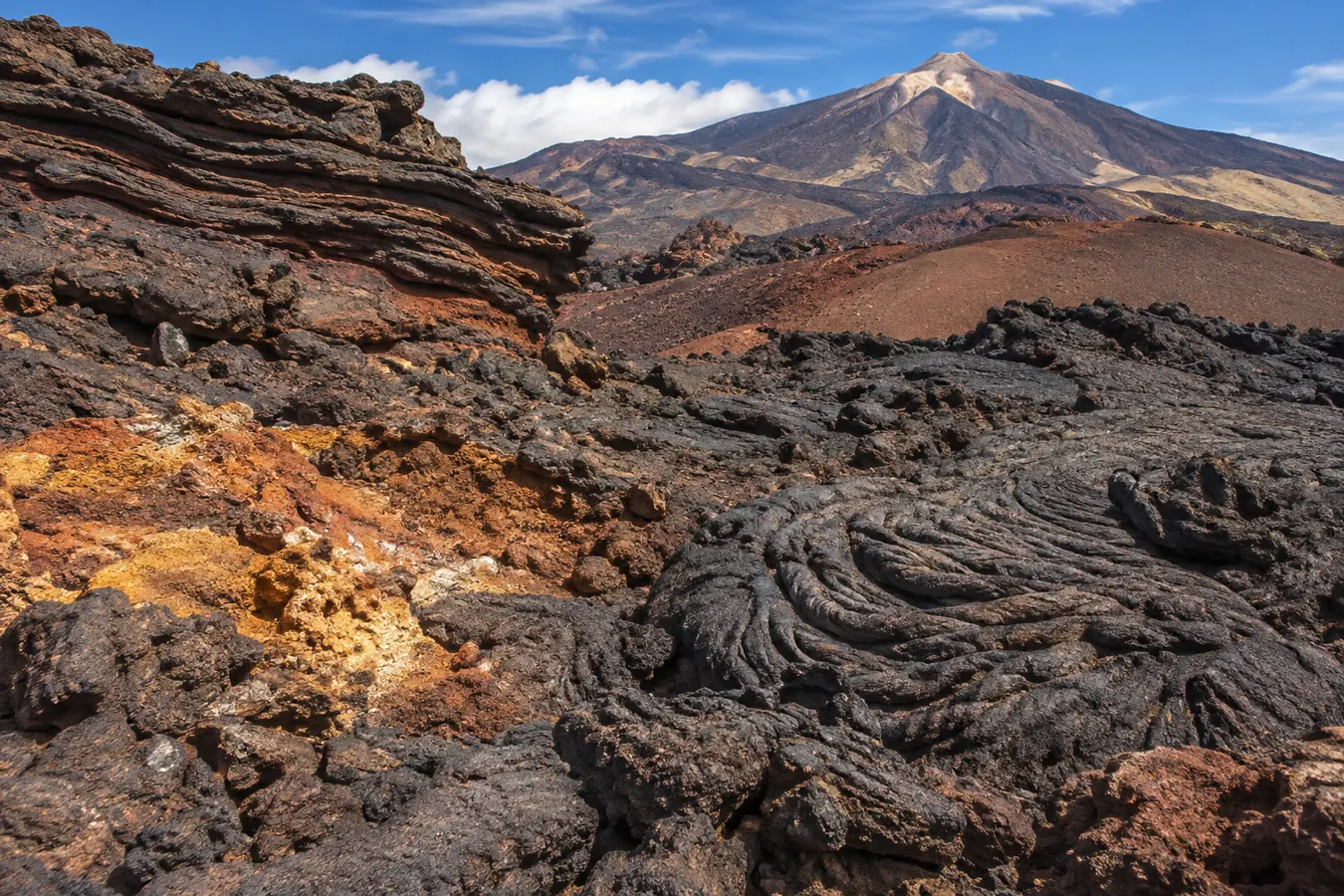
Lava is material of magmatic origin that reaches the surface, and a lava flow is the stream of material that moves before eventually forming an accumulation of rock. Its shape depends on factors such as composition, temperature, speed of movement and the conditions of the land it crosses.
A lava flow may display areas with a disordered appearance, with rough blocks and sharp edges. Elsewhere there are undulating surfaces, sometimes with patterns resembling ropes. The differences help you imagine how the lava moved while parts of it remained hot and others began to cool.
In certain lava flows, the surface solidifies before the inside ceases to flow. If lava subsequently drains away from that conduit, a cavity remains. Lava tubes are an example of the way a visible surface does not necessarily reveal everything beneath it.
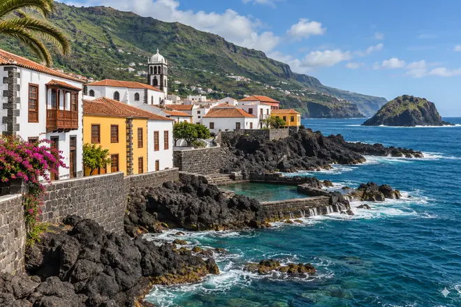
Related reading: Garachico: the old port, lava flows, historic squares and ocean pools.
In some landscapes, a network of cavities can present a hazard. Do not enter unprepared tubes or holes: as well as the risks of falling and disorientation, they may contain sensitive species. Sites where visits are authorised have their own access requirements.
Materials ejected during an explosive eruption include fragments of different sizes. Certain types of scoria contain numerous holes formed by gases. You can observe these textures in permitted areas without removing specimens or altering natural surfaces.
Las Cañadas and the central volcanic complex
Las Cañadas occupies a central part of Tenerife, comprising a broad depression bounded in some areas by vast mountain walls. The volcanic structures of Teide and Pico Viejo rise within it.
Various designated viewpoints reveal lava flows of contrasting colours and accumulations of volcanic products. Some lighter colours are associated with compositions different from those of the darker basaltic lavas. Light, weathering and minerals also contribute to their appearance.
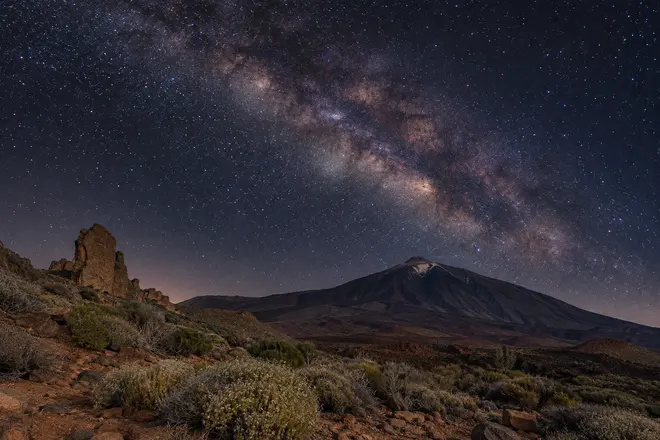
Teide rises to an altitude of 3,718 metres. Its outline is particularly easy to discern from some locations away from the national park. From there, distance allows you to recognise the shape of the whole mountain that was obscured by nearer terrain when you were inside Las Cañadas.
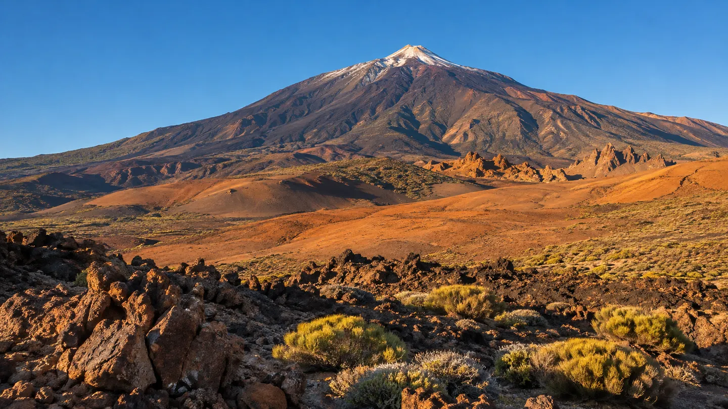
The Roques de García formation introduces a different scale. Isolated shapes and cuts in the rock demonstrate the action of erosive processes on materials that respond in different ways to the passage of time.
Dykes: the lines cutting through the rocks of Tenerife
Some rock faces contain bands of material crossing layers of other rocks. These may be dykes, formed when magma penetrates a fracture and solidifies inside it. Subsequent erosion sometimes reveals these structures.
In the ancient mountain ranges of the north and west, such shapes can be observed from viewpoints and paths. The trick is to look for lines cutting across nearby layers rather than assume that every stripe of a different colour corresponds to a dyke.
It may be tempting to approach a rock wall to examine it, but it is not worth exposing yourself to the risk of rockfalls. A photograph taken with a relatively long lens can reveal many details from a safe location.
The cliffs of Los Gigantes demonstrate what happens when a large expanse of volcanic materials becomes exposed beside the sea. From an authorised vessel at an appropriate distance you can distinguish strata and inlets, although the exact composition of each rock may not be apparent.
Why beaches come in different colours
Wave action erodes rocks and changes the size of fragments over time. Many beaches in Tenerife accumulate dark sands that reflect the abundance of volcanic materials. Grains of different shades may appear among the sand, and some areas contain much larger particles.
Beach sediment is mobile. Waves and currents transport particles, and during periods of stormy weather the width and profile of a beach can change. A photograph taken in summer will not necessarily show the ground you find several months later.
There are also beaches with lighter sands. Colour depends on the origin and composition of the materials and, in certain locations, human intervention. It is incorrect to assume that all pale sand comes from a particular type of volcanic rock or that all black sand derives from the same eruption.
Rocky seabeds are interesting too. For snorkellers, the shape of submerged blocks and channels affects what you see beneath the water. However, an attractive rock formation does not itself make a location safe to enter; swell, exits and visibility remain crucial considerations.
Eruptions within historical memory
People have recorded some of the eruptions that occurred on Tenerife. In 1706, lava profoundly altered Garachico and its harbour. The eruption of Pico Viejo, also known as Chahorra, took place in 1798. The Chinyero eruption of 1909 is the most recent eruption to have occurred on the island.
These dates illustrate episodes separated by periods that are long in a human lifetime but short compared with the age of the old mountain ranges. The volcanic character of the island is not confined to its distant past. Scientific observation and research provide information about its activity, although a feature observed in the landscape should not be taken as sufficient evidence of a future eruption.
While travelling in Tenerife, the national park, Garachico and the ancient massifs make complementary destinations. Allow time to examine the surface of the ground and the outline of mountains, and even the journeys between beaches and trails become part of the visit. The volcanic environment is not limited to the cone that dominates the island: it also forms the ravines, natural pools, marine habitats and terrain on which the towns have developed.
Explore next: Kayaking in Los Gigantes.